
Elevation
[?]
Elevation of a city refers to the height above sea level at which the city is located, measured in meters.
-1
Population
[?]
This is a town's official population, measured each year by the national statistics authority.
13800
Real Population (5km)
[?]
Our "Real Population" metric reflects more accurately a town's real size by including inhabitants in the immediate vicinity of the town's official borders.
34800
Air Quality Rating
[?]
Based on PM10, PM2.5, NO2, SO2, and ozone levels. Higher scores indicate cleaner air.
82
Region
Veneto
Walkability
Very Walkable
Housing availability
[?]
Based on total number of properties (sale and rent) classifies housing availability into five categories: low, relativel ylow, medium, relatively high and high.
High
Avg Download Speed (Mbps) / Avg Upload Speed (Mbps)
48
/ 15
Climate Description
Mild winters and hot summers define this area, with ample sunshine and minimal snow.
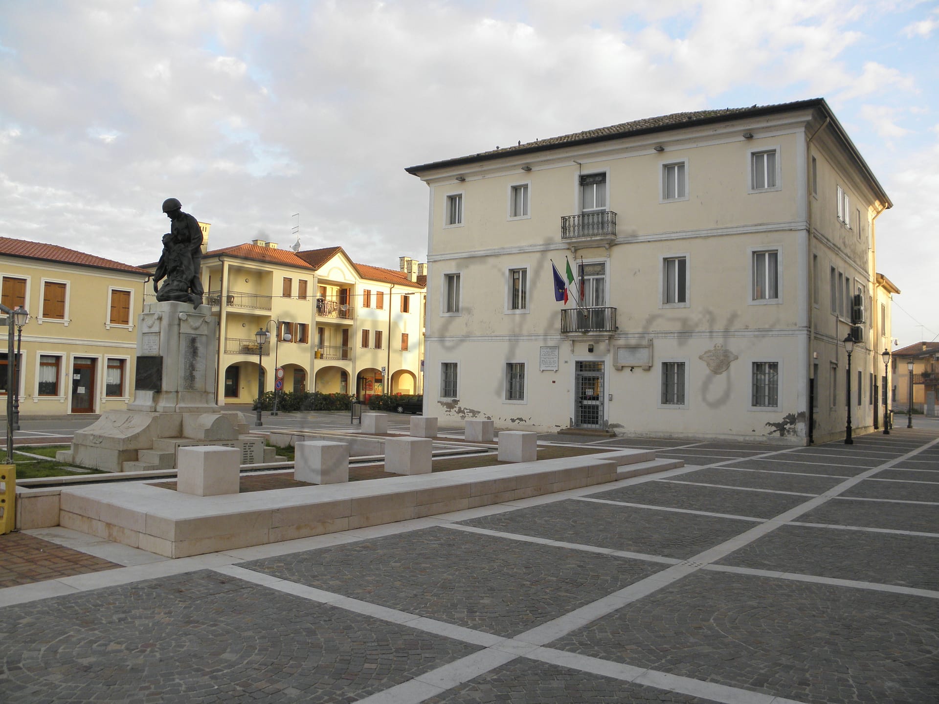
Porto Viro
Veneto
Historic commune in Veneto, once part of the Republic of Venice; now combines rich heritage with natural landscapes, ideal for exploring rural and historical sites.
Quality of Life Score
[?]Factors in air quality, amenities, walkability, population, and environmental risks. Higher scores suggest better living conditions.
87
Quality of Infrastructure
[?]Measures internet speed, healthcare access, airports, rail, and walkability. Higher scores mean better connectivity and essential services.
100
Quality of Economy
[?]Based on income, property prices, job availability, and population density. Higher scores indicate stronger economic conditions.
73
Porto Viro Demographics
Population
[?]
This is a town's official population, measured each year by the national statistics authority.
13800
Real Population (5km band)
[?]
Our "Real Population" metric reflects more accurately a town's real size by including inhabitants in the immediate vicinity of the town's official borders.
34800
Births Per 100 Deaths
60.0
Population Data Source
ISTAT,2023
Estimated Unemployment Rate
Touristy Index
[?]
Calculation of tourist density index for the city, comparing its total tourist number to the overall average tourist number of the region
relative to its own population.The index indicates how a location’s tourist density compares to the average, with values above
100 representing higher-than-average density and values below 100 representing lower-than-average density.
Not Touristic
Income per capita (2023)
[?]
This is an estimation of average income per resident for this town, based on 2023 data from the Italian Ministry of Finance.
19700
Income rank in Italy (2023)
[?]
This is a ranking of the town's average income per resident, against the full list of townships in Italy.
4412 out of 7901
Infrastructure and Connectivity
Create an account to explore more
This content is for Members only | Already a Member? Sign in
Infrastructure & Amenities
Create an account to explore more
This content is for Members only | Already a Member? Sign in
Within 10km
Auto Repair Shops
57
Bars
55
Cafes
15
Cinemas
1
Dentists
13
Golf Courses
0
Gyms
9
Health Clinics
1
Hiking Trails
1
Historical Sites
27
Libraries
0
Museums
2
Parks
0
Pharmacies
0
Restaurants
40
Shopping Centres
4
Supermarkets
16
Spas
23
Beach
Name
Scanno Cavallari Sud
Driving Distance
12mins
Water Quality Rating
1 - Excellent
Mountain Resort
Name
Belmonte - Treschè Conca
Driving Distance
129.0mins
Healthcare
Create an account to explore more
This content is for Members only | Already a Member? Sign in
Healthcare Score
[?]
Evaluates hospital/clinic access, drive time to care, and regional quality rankings. Higher scores mean better healthcare.
74.0
Nearest Hospital Name
Madonna della Salute-P. Soccor
Drive Time to Nearest Hospital
14 minutes
Hospitals and Clinics Within 10km
2
Healthcare Quality Description
In this area of Veneto, healthcare quality presents a mixed picture. While overall performance across all indicators is moderate within the national landscape, specific aspects reveal disparities. Hospital care falls short of national standards, and heart attack readmissions exceed average levels. Conversely, swift treatment for bone fractures and STEMI situations are commendable. Post-operative care efficiency is also notably high, yet minimally invasive breast cancer surgery significantly lags. Prospective residents should weigh these factors when considering local healthcare facilities.
Local Public Healthcare Provider
AZIENDA ULSS N. 5 POLESANA
Safety
Seismic Zone (risk of earthquakes)
[?]
Official seismic zones classify areas based on earthquake risk.
Moderate to Low Earthquake Risk
Road Accidents Rate per 10k Inhabitants
[?]
Calculation of road accidents per 10,000 people based on the number of deaths and injuries registered in roads for year 2022 for the city.
28
Percentage of Population at Landslide Risk
[?] Percentage of the population in high or moderate landslide risk zones. Higher values indicate greater environmental risk.
Percentage of Population at Flood Risk
[?] Percentage of the population in high or moderate flood risk zones. Higher values indicate greater environmental risk.
Car Insurance Price Index
[?]
The car insurance price index is a measure of how a city's average car insurance premium compares to the national average,
expressed as a percentage. A value of 100 indicates that the city's premium is equal to the national average.
Values above 100 show higher premiums, while values below 100 show lower premiums.
93.139
Housing & Property Market
Create an account to explore more
This content is for Members only | Already a Member? Sign in
Housing availability
[?]
Based on total number of properties (sale and rent) classifies housing availability into five categories: low, relativel ylow, medium, relatively high and high.
High
Property Prices per m²
[?]
Calculation of property sale prices per square meter for apartments, houses in the city.
Median (50th Percentile): The midpoint price, where half the values are above and half below.
First Quartile (25th Percentile): The price below which 25% of properties fall.
Third Quartile (75th Percentile): The price below which 75% of properties fall.
First Quartile
746
Median
922
Third Quartile
1103
Connectivity & Digital Access
Create an account to explore more
This content is for Members only | Already a Member? Sign in
Walkability Description
Very Walkable
Avg Download Speed (Mbps)
48
Fast Download Speed (Mbps)
57
Slow Download Speed (Mbps)
34
Education
Create an account to explore more
This content is for Members only | Already a Member? Sign in
Avg Schools Ranking (All Criteria)
[?]
This ranking shows in which decile the town's public schools fall while looking at all the indicators provided by the Italian Ministry of Education for the most recent available year. Note that figures are only provided by the ministry at the school catchment area level, and therefore several schools may be grouped together.
Bottom 10%
Avg Schools Ranking (Standardised Tests)
[?]
This ranking shows in which decile the town's public schools fall while looking the students' results in national standardised tests. The data is provided by the Italian Ministry of Education for the most recent available year.
Bottom 30%
Counts of School
Error
There was a problem with your SQL connection - Please contact the administrator
There was a problem with your SQL connection - Please contact the administrator
Climate & Weather
Create an account to explore more
This content is for Members only | Already a Member? Sign in
Precipitation
[?] Based on daily climate data for precipitation from OPEN-METEO this parameter indicates how a city's annual precipitation compares to others in terms of percentage, with values ranging from 0 (lowest) to 1 (highest). For example, a percentile rank of 0.75 means the city's total precipitation is higher than 75% of other cities.
Somewhat Low (21st-30th percentile)
Sunshine
Somewhat High (61st-70th percentile)
Snowfall
Low (11th-20th percentile)
Min Annual Temperature (°C)
[?] This parameter represents the monthly average of daily minimum temperatures for January, based on data from OPEN-METEO.
2.4
Max Annual Temperature (°C)
[?] This parameter represents the monthly average of daily minimum temperatures for January, based on data from OPEN-METEO.
28.6
Climate Description
In Porto Viro, Italy, the weather offers an amiable canvas for everyday life. The region enjoys a predominantly mild to warm climate, where summers are pleasantly warm without becoming excessively hot, making this an appealing locale for retirees and expats seeking comfort without the extremes. Winters are notably mild too, characterized by infrequent snowfall that adds a dusting of charm to the landscape without causing significant disruptions. Sunshine is abundant throughout the year, ensuring that residents enjoy bright days more often than not. This generous sunlight pairs well with the area's moderate rainfall, ensuring lush landscapes without the prevalence of dreary, overcast skies.
Annual Temperature Chart (Min)
Error
There was a problem with your SQL connection - Please contact the administrator
There was a problem with your SQL connection - Please contact the administrator
Annual Temperature Chart (Max)
Error
There was a problem with your SQL connection - Please contact the administrator
There was a problem with your SQL connection - Please contact the administrator
Sunny Days By Month
Error
There was a problem with your SQL connection - Please contact the administrator
There was a problem with your SQL connection - Please contact the administrator
Environmental & Air Quality
Create an account to explore more
This content is for Members only | Already a Member? Sign in
Classifications
PM10
[?]
PM10 levels indicate Good air quality at 0–20 µg/m³, Fair at 20–40 µg/m³, Moderate at 40–50 µg/m³, Poor at 50–100 µg/m³, Very Poor at 100–150 µg/m³, and Extremely Poor at 150–1200 µg/m³.
Good
PM2.5
[?]
PM2.5 is Good if PM2.5 levels are between 0–10 µg/m³, Fair between 10–20 µg/m³, Moderate between 20–25 µg/m³, Poor between 25–50 µg/m³, Very Poor between 50–75 µg/m³, and Extremely Poor between 75–800 µg/m³.
Fair
NO2
[?]
NO₂ levels are considered Good at 0–40 µg/m³, Fair at 40–90 µg/m³, Moderate at 90–120 µg/m³, Poor at 120–230 µg/m³, Very Poor at 230–340 µg/m³, and Extremely Poor at 340–1000 µg/m³.
Good
SO2
[?]
SO₂ levels indicate Good air quality at 0–100 µg/m³, Fair at 100–200 µg/m³, Moderate at 200–350 µg/m³, Poor at 350–500 µg/m³, Very Poor at 500–750 µg/m³, and Extremely Poor at 750–1250 µg/m³.
Good
O₃
[?]
For O₃, the air is Good at 0–50 µg/m³, Fair at 50–100 µg/m³, Moderate at 100–130 µg/m³, Poor at 130–240 µg/m³, Very Poor at 240–380 µg/m³, and Extremely Poor at 380–800 µg/m³.
Fair
Air Quality Rating
[?]
Based on PM10, PM2.5, NO2, SO2, and ozone levels. Higher scores indicate cleaner air.
82
Air Quality Description
In Porto Viro, Italy, the air quality generally ranks from fair to good across various pollutants. The particulate matter, which can affect respiratory conditions, shows levels that are comfortable enough for daily activities without substantial health concerns. Porto Viro enjoys relatively low concentrations of nitrogen dioxide and sulphur dioxide, indicative of lesser industrial pollution and favorable conditions for those looking to escape more contaminated urban centers. While ozone levels are moderate, they are within a range that suggests limited impact on day-to-day wellness. Overall, the air in Porto Viro provides a conducive environment for expats and retirees seeking clearer skies and healthier living conditions.
In Porto Viro, Italy, the air quality generally ranks from fair to good across various pollutants. The particulate matter, which can affect respiratory conditions, shows levels that are comfortable enough for daily activities without substantial health concerns. Porto Viro enjoys relatively low concentrations of nitrogen dioxide and sulphur dioxide, indicative of lesser industrial pollution and favorable conditions for those looking to escape more contaminated urban centers. While ozone levels are moderate, they are within a range that suggests limited impact on day-to-day wellness. Overall, the air in Porto Viro provides a conducive environment for expats and retirees seeking clearer skies and healthier living conditions.
Town Descriptions
Create an account to explore more
This content is for Members only | Already a Member? Sign in
Getting There
Porto Viro is well-connected with significant transport infrastructure. The town is accessible via regional roads, with its nearest airport, Marco Polo in Venice, located approximately 72 minutes away. Nearby train stations enhance connectivity, offering reliable travel options, further supported by a robust infrastructure score.
Getting Around
Porto Viro offers limited public transport options, primarily served by local bus services. The town is compact, making walking a feasible option for exploring. For longer distances, car rental is advisable, enhancing the exploration of surrounding areas.
Local Cuisine
The culinary scene in Porto Viro, located in the Veneto region, is characterized by traditional dishes that highlight the unique flavors of the River Po Delta. Notable dishes include Riso del Delta del Po IGP, a prized rice variety, Cozza di Scardovari mussels, and Aglio bianco Polesano, a distinctive garlic utilized in local recipes such as supa da ajo (garlic soup). Other regional specialties feature Bondola Polesana, a cured sausage, Faraona in tecia (guinea fowl stew with polenta), and Risotto Polesano, which often incorporates local seafood. Dining options in the town range from casual eateries specializing in fresh local seafood to more internationally inspired establishments. However, Porto Viro has not yet garnered any Michelin-starred restaurants, maintaining a more localized dining focus.
Shopping Overview
Shopping in the region encompasses a diverse range of categories including supermarkets, local specialty shops, and vibrant markets. Expats and retirees will find large retailers catering to daily needs alongside boutique outlets offering unique goods. Weekly markets provide an opportunity for purchasing fresh produce and artisanal products, while shopping centres feature a mix of domestic and international brands. The overall emphasis is on quality, particularly in food markets, reflecting local culinary traditions. Accessibility and variety adapt to the lifestyle preferences of the community.
Neighborhoods
Green Areas and Parks
Porto Viro offers diverse outdoor activities suitable for hiking enthusiasts. The Po Delta Regional Park is central to these activities, providing trails for various fitness levels. The Porto Viro-Adria route offers a 43.2-mile moderate hike ideal for cyclists and hikers alike. Additionally, the expert-level Via dell’Erica and the loop tour along Po di Gnocca and Po di Goro present challenging terrain for seasoned hikers. For those seeking lower intensity, the Porto Viro loop from Contarina and Valle da Pesca loop provide accessible paths for leisurely walks.
✅ Pros
– High-quality healthcare with accessible medical facilities nearby.
– Excellent infrastructure supporting transportation and connectivity.
– Clean air quality conducive for outdoor activities.
– Mild climate with pleasant weather throughout the year.
– Low unemployment rate providing job opportunities.
– Rich cultural and historical backdrop to explore.
– Opportunities for integration within the local community.
– Low tourist presence ensuring a peaceful environment.
– Good educational facilities for lifelong learning.
– Reliable internet connectivity for remote work and leisure.
❌ Cons
– Limited entertainment options for nightlife enthusiasts seeking vibrant scenes.
– Few international dining options for the diverse palate.
– Smaller community may feel isolating for some newcomers.
– Language barrier could hinder social and professional integration.
– Infrequent public transport may limit mobility without a car.
– Seasonal weather can be unpredictable; pack an umbrella!
– Economic opportunities may be less diverse than larger cities.
– Limited shopping choices for those used to urban amenities.
– Local bureaucracy can be slow and frustrating to navigate.
– Cultural activities may not match larger cities’ offerings.
FAQs
Summary
Porto Viro, a commune known also by its former name Taglio di Po, is nestled in the Veneto region of Italy, within the province of Rovigo. Once an integral part of the Republic of Venice, the town retains a rich historical aura dating back to its origination from the division of the Adige River. Spanning an area of about 108.94 square kilometers, it represents a blend of cultural heritage and natural beauty. Porto Viro serves as an inviting destination for those interested in exploring authentic Italian landscapes and historical sites. The local economy largely benefits from agriculture, reflecting the fertile soils of the Po Delta. The commune also facilitates exploration into the Venice lagoon, providing a unique perspective on rural Italian life contrasted against historical narratives.
✅ Pros
– High-quality healthcare with accessible medical facilities nearby.
– Excellent infrastructure supporting transportation and connectivity.
– Clean air quality conducive for outdoor activities.
– Mild climate with pleasant weather throughout the year.
– Low unemployment rate providing job opportunities.
– Rich cultural and historical backdrop to explore.
– Opportunities for integration within the local community.
– Low tourist presence ensuring a peaceful environment.
– Good educational facilities for lifelong learning.
– Reliable internet connectivity for remote work and leisure.
❌ Cons
– Limited entertainment options for nightlife enthusiasts seeking vibrant scenes.
– Few international dining options for the diverse palate.
– Smaller community may feel isolating for some newcomers.
– Language barrier could hinder social and professional integration.
– Infrequent public transport may limit mobility without a car.
– Seasonal weather can be unpredictable; pack an umbrella!
– Economic opportunities may be less diverse than larger cities.
– Limited shopping choices for those used to urban amenities.
– Local bureaucracy can be slow and frustrating to navigate.
– Cultural activities may not match larger cities’ offerings.
Related Posts
More questions about Porto Viro ? Ask Magic AI.
Our innovative AI assistant is eager to help. Try it out here: