
Elevation
[?]
Elevation of a city refers to the height above sea level at which the city is located, measured in meters.
27
Population
[?]
This is a town's official population, measured each year by the national statistics authority.
50300
Real Population (5km)
[?]
Our "Real Population" metric reflects more accurately a town's real size by including inhabitants in the immediate vicinity of the town's official borders.
89400
Air Quality Rating
[?]
Based on PM10, PM2.5, NO2, SO2, and ozone levels. Higher scores indicate cleaner air.
80
Region
Lazio
Walkability
Somewhat Walkable
Housing availability
[?]
Based on total number of properties (sale and rent) classifies housing availability into five categories: low, relativel ylow, medium, relatively high and high.
Low
Avg Download Speed (Mbps) / Avg Upload Speed (Mbps)
169
/ 93
Climate Description
Warm summers, mild winters, moderate rainfall, ample sunlight, occasional snow.
Ardea
Lazio
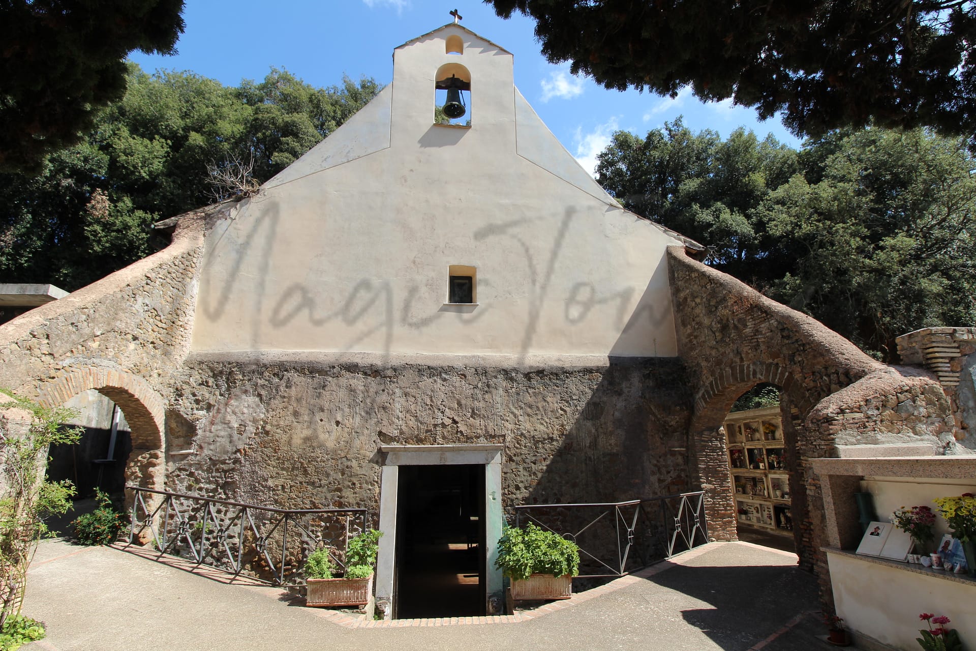
Historical charm, Mediterranean climate, ancient Roman ruins, affordable living, and welcoming community for expats.
Quality of Life Score
[?]Factors in air quality, amenities, walkability, population, and environmental risks. Higher scores suggest better living conditions.
75
Quality of Infrastructure
[?]Measures internet speed, healthcare access, airports, rail, and walkability. Higher scores mean better connectivity and essential services.
57
Quality of Economy
[?]Based on income, property prices, job availability, and population density. Higher scores indicate stronger economic conditions.
68
Ardea Demographics
Population
[?]
This is a town's official population, measured each year by the national statistics authority.
50300
Real Population (5km band)
[?]
Our "Real Population" metric reflects more accurately a town's real size by including inhabitants in the immediate vicinity of the town's official borders.
89400
Births Per 100 Deaths
70.0
Population Data Source
ISTAT,2023
Estimated Unemployment Rate
Touristy Index
[?]
Calculation of tourist density index for the city, comparing its total tourist number to the overall average tourist number of the region
relative to its own population.The index indicates how a location’s tourist density compares to the average, with values above
100 representing higher-than-average density and values below 100 representing lower-than-average density.
Not Touristic
Income per capita (2023)
[?]
This is an estimation of average income per resident for this town, based on 2023 data from the Italian Ministry of Finance.
19800
Income rank in Italy (2023)
[?]
This is a ranking of the town's average income per resident, against the full list of townships in Italy.
4367 out of 7901
Infrastructure and Connectivity
Create an account to explore more
This content is for Members only | Already a Member? Sign in
Infrastructure & Amenities
Create an account to explore more
This content is for Members only | Already a Member? Sign in
Healthcare
Create an account to explore more
This content is for Members only | Already a Member? Sign in
Housing & Property Market
Create an account to explore more
This content is for Members only | Already a Member? Sign in
Connectivity & Digital Access
Create an account to explore more
This content is for Members only | Already a Member? Sign in
Education
Create an account to explore more
This content is for Members only | Already a Member? Sign in
Climate & Weather
Create an account to explore more
This content is for Members only | Already a Member? Sign in
Precipitation
[?] Based on daily climate data for precipitation from OPEN-METEO this parameter indicates how a city's annual precipitation compares to others in terms of percentage, with values ranging from 0 (lowest) to 1 (highest). For example, a percentile rank of 0.75 means the city's total precipitation is higher than 75% of other cities.
Somewhat Low (21st-30th percentile)
Sunshine
Exceptional (Top 10%)
Snowfall
Low (11th-20th percentile)
Min Annual Temperature (°C)
[?] This parameter represents the monthly average of daily minimum temperatures for January, based on data from OPEN-METEO.
6.3
Max Annual Temperature (°C)
[?] This parameter represents the monthly average of daily minimum temperatures for January, based on data from OPEN-METEO.
30.1
Climate Description
Ardea, situated in Italy, offers a climate that balances warmth and moderate seasonal variations, making it suitable for expats and retirees. Summers are quite warm, reaching their peak heat, which typically allows for leisurely days in sun-drenched settings. Winters are mild with very occasional snowfall, ensuring that outdoor activities remain accessible year-round. The area receives a moderate amount of rainfall annually, preserving the lush greenery without excessive wet spells. With ample sunlight throughout the year, Ardea provides an inviting environment for those seeking the tranquility of sunny, pleasant days away from harsher climates.
Annual Temperature Chart (Min)
Error
There was a problem with your SQL connection - Please contact the administrator
There was a problem with your SQL connection - Please contact the administrator
Annual Temperature Chart (Max)
Error
There was a problem with your SQL connection - Please contact the administrator
There was a problem with your SQL connection - Please contact the administrator
Sunny Days By Month
Error
There was a problem with your SQL connection - Please contact the administrator
There was a problem with your SQL connection - Please contact the administrator
Environmental & Air Quality
Create an account to explore more
This content is for Members only | Already a Member? Sign in
Classifications
PM10
[?]
PM10 levels indicate Good air quality at 0–20 µg/m³, Fair at 20–40 µg/m³, Moderate at 40–50 µg/m³, Poor at 50–100 µg/m³, Very Poor at 100–150 µg/m³, and Extremely Poor at 150–1200 µg/m³.
Good
PM2.5
[?]
PM2.5 is Good if PM2.5 levels are between 0–10 µg/m³, Fair between 10–20 µg/m³, Moderate between 20–25 µg/m³, Poor between 25–50 µg/m³, Very Poor between 50–75 µg/m³, and Extremely Poor between 75–800 µg/m³.
Fair
NO2
[?]
NO₂ levels are considered Good at 0–40 µg/m³, Fair at 40–90 µg/m³, Moderate at 90–120 µg/m³, Poor at 120–230 µg/m³, Very Poor at 230–340 µg/m³, and Extremely Poor at 340–1000 µg/m³.
Good
SO2
[?]
SO₂ levels indicate Good air quality at 0–100 µg/m³, Fair at 100–200 µg/m³, Moderate at 200–350 µg/m³, Poor at 350–500 µg/m³, Very Poor at 500–750 µg/m³, and Extremely Poor at 750–1250 µg/m³.
Good
O₃
[?]
For O₃, the air is Good at 0–50 µg/m³, Fair at 50–100 µg/m³, Moderate at 100–130 µg/m³, Poor at 130–240 µg/m³, Very Poor at 240–380 µg/m³, and Extremely Poor at 380–800 µg/m³.
Fair
Air Quality Rating
[?]
Based on PM10, PM2.5, NO2, SO2, and ozone levels. Higher scores indicate cleaner air.
80
Air Quality Description
When considering relocation, air quality can significantly impact quality of life. In Ardea, Italy, the atmosphere largely offers a breathable environment that meets with general satisfaction. The particulate matter levels – which measure airborne particles detrimental to human health – are notably low, with the larger particles rated as ‘Good’ and the finer particles seen as ‘Fair’. The low concentrations of nitrogen dioxide and sulfur dioxide are also encouraging, reflecting limited pollution from traffic and industrial activities, each rated good in Ardea. Ozone levels are moderate and regarded as ‘Fair’, something potential residents may wish to consider when timing outdoor activities for better respiratory comfort.
When considering relocation, air quality can significantly impact quality of life. In Ardea, Italy, the atmosphere largely offers a breathable environment that meets with general satisfaction. The particulate matter levels – which measure airborne particles detrimental to human health – are notably low, with the larger particles rated as ‘Good’ and the finer particles seen as ‘Fair’. The low concentrations of nitrogen dioxide and sulfur dioxide are also encouraging, reflecting limited pollution from traffic and industrial activities, each rated good in Ardea. Ozone levels are moderate and regarded as ‘Fair’, something potential residents may wish to consider when timing outdoor activities for better respiratory comfort.
Town Descriptions
Create an account to explore more
This content is for Members only | Already a Member? Sign in
Getting There
Ardea is accessible via the A91 and A12 highways, facilitating regional connectivity. The nearest train stations offer moderate connectivity, which supports travel toward Rome. Key airports, Ciampino and Fiumicino, are within proximity, enhancing Ardea’s overall accessibility for residents and visitors alike.
Getting Around
Local Cuisine
Ardea, located in the Lazio region of Italy, showcases a rich culinary scene characterized by traditional dishes commonly found throughout Lazio, alongside a variety of international dining options. Traditional fare includes iconic items such as pasta alla carbonara, cacio e pepe, bucatini all’amatriciana, and porchetta di Ariccia, which represent the robust flavors and ingredients typical of the area. Restaurants in Ardea reflect this culinary heritage while also embracing international cuisines, offering a blend of Italian and various global flavors. Establishments feature steakhouses, pizzerias, and seafood restaurants with influences ranging from American to Asian, indicating a diverse dining landscape. Notably, there may be Michel-starred establishments that elevate the local dining experience. Overall, Ardea’s gastronomic offerings provide both traditional and contemporary culinary experiences, catering to a broad range of palates.
Shopping Overview
Shopping in the area offers a diverse range of options suitable for expats and retirees. Supermarkets are plentiful, providing essential groceries and daily needs. For those seeking a more curated experience, boutiques feature unique fashion and home goods. Larger shopping centres accommodate a variety of retail outlets, while specialty shops cater to niche markets, including gifts and local crafts. Additionally, various markets showcase local produce, enhancing the shopping experience for residents looking to explore the culture and community.
Neighborhoods
Green Areas and Parks
Ardea, located in the Lazio region of Italy, offers various opportunities for outdoor activities and enjoying green spaces. The nearby Parco Regionale dei Castelli Romani is notable for hiking and exploring its lush landscapes. Additionally, the Riserva Naturale Statale Del Litorale Romano provides natural reserves ideal for walking and observing local flora and fauna. Local day-trip destinations include Lago Arcobaleno, a body of water for relaxation and nature appreciation.
✅ Pros
– High-quality healthcare services available in the area.
– Favorable air quality for a healthier lifestyle.
– Low unemployment rate offers good job stability.
– Peaceful, non-touristic environment for a relaxed lifestyle.
– Mild climate throughout the year for outdoor activities.
– Rich cultural and historical heritage to explore.
– Strong community integration opportunities for newcomers.
– Access to essential infrastructure for daily living.
– Reliable transportation options for easy commuting.
– Sufficient internet connectivity for remote work.
❌ Cons
– Limited educational facilities for families with children.
– Healthcare score suggests room for improvement.
– Air quality rating is borderline acceptable.
– Infrastructure score indicates some developmental shortcomings.
– Job market may feel stagnant despite low unemployment.
– Average income rank may affect lifestyle choices.
– Internet speeds may not support heavy remote work use.
– Peaceful living might feel too quiet for some.
– Limited entertainment and nightlife options available.
– Lack of tourist attractions may lead to isolation.
FAQs
Summary
Ardea, located just 35 kilometers south of Rome, offers a blend of historical charm and modern convenience for expats and retirees. The town, with a population of around 50,000, features a mild Mediterranean climate, making it an attractive destination for those seeking sunnier days. Key attractions include its ancient Roman ruins and proximity to the Mediterranean coast, with beaches located a short drive away. Ardea boasts strong local traditions and an evolving cultural scene, making it an inviting community for newcomers.
While the town excels in healthcare and internet connectivity, expats may find commuting options and local transportation lacking compared to larger cities. Public safety concerns and occasional higher crime rates are noted challenges. Nevertheless, with affordable living costs and a welcoming attitude towards foreigners, Ardea presents itself as a viable option for those seeking an Italian lifestyle within reach of the capital.
✅ Pros
– High-quality healthcare services available in the area.
– Favorable air quality for a healthier lifestyle.
– Low unemployment rate offers good job stability.
– Peaceful, non-touristic environment for a relaxed lifestyle.
– Mild climate throughout the year for outdoor activities.
– Rich cultural and historical heritage to explore.
– Strong community integration opportunities for newcomers.
– Access to essential infrastructure for daily living.
– Reliable transportation options for easy commuting.
– Sufficient internet connectivity for remote work.
❌ Cons
– Limited educational facilities for families with children.
– Healthcare score suggests room for improvement.
– Air quality rating is borderline acceptable.
– Infrastructure score indicates some developmental shortcomings.
– Job market may feel stagnant despite low unemployment.
– Average income rank may affect lifestyle choices.
– Internet speeds may not support heavy remote work use.
– Peaceful living might feel too quiet for some.
– Limited entertainment and nightlife options available.
– Lack of tourist attractions may lead to isolation.
Related Posts
No posts found for the town.
More questions about Ardea ? Ask Magic AI.
Our innovative AI assistant is eager to help. Try it out here: